Add Points Extension Dataset in Walksheds
Add Points Extension Dataset in Walksheds⚓︎
This tutorial explains how to convert a GTFS feed's bus stop points to OpenSidewalks (OSW) format, upload it to the TDEI Portal, and display it as an extension (overlay) dataset in Walksheds.
For a list of all guides on the TCAT Wiki, refer to the Guides List.
Step 1: Acquire GTFS Data⚓︎
Download a GTFS feed that includes the bus stops (stops.txt) you want to display.
As an example, this guide will use the King County Metro GTFS feed from Sound Transit's Open Transit Data page.
Step 2: Convert GTFS Data to OSW Format⚓︎
Convert the stops.txt into OpenSidewalks Points.
-
Use the GTFS-to-TDEI Converter utility.
-
Run the converter with the GTFS ZIP file as the input:
python utilities/gtfs_to_tdei_converter.py "C:/data/google_transit.zip"To save the output in a specific directory, add the
-ooption:python utilities/gtfs_to_tdei_converter.py "C:/data/google_transit.zip" --o "C:/data/output"The converter creates a dated OSW ZIP package named
YYYY-MM-DD_GTFS_OSW.zip. This package contains the bus stop points as an OSW GeoJSON file.
Step 3: Upload the OSW Dataset to TDEI⚓︎
-
Open the Upload Dataset page in the TDEI Portal after signing in.
-
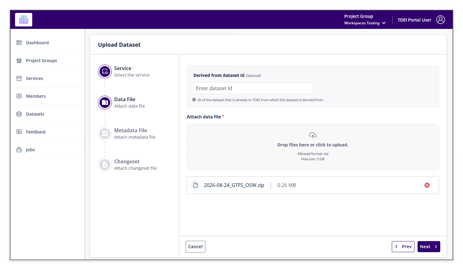
Follow the upload workflow to attach the generated
YYYY-MM-DD_GTFS_OSW.zipfile, provide the required dataset information, and submit the upload.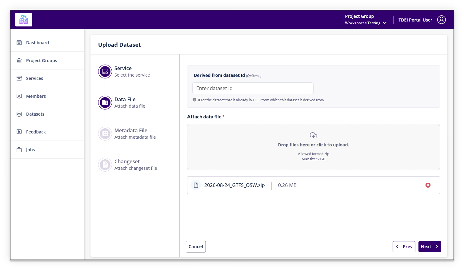
-
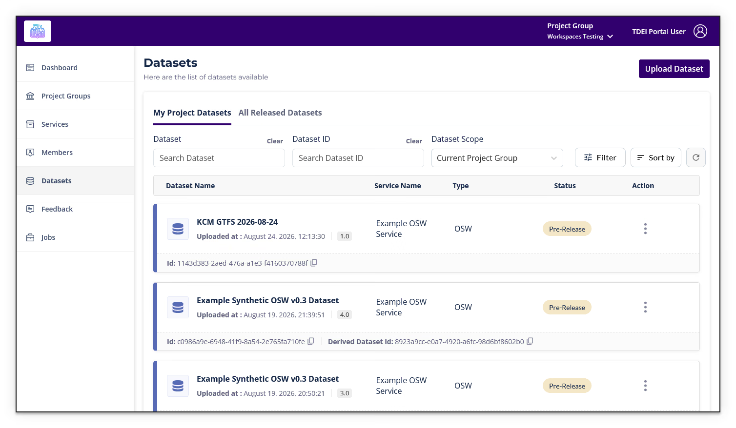
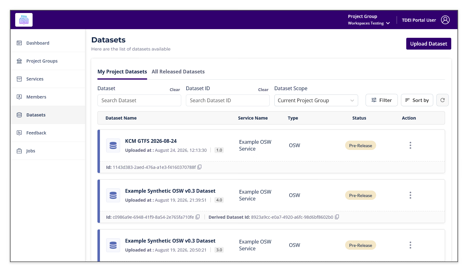
Open Datasets and confirm that the uploaded dataset appears in the dataset list.
Step 4: Select the Extension Dataset in Walksheds⚓︎
-
Open Walksheds and sign in.
-
Open the Walksheds settings and select the base TDEI dataset for your analysis.
-
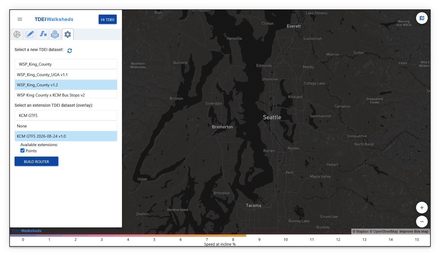
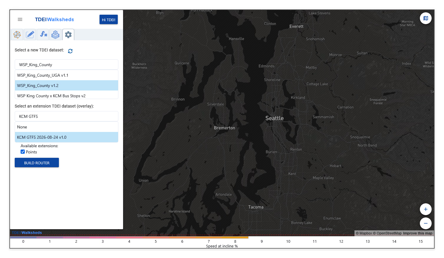
Under Select an extension TDEI dataset (overlay), select the uploaded GTFS dataset. Confirm that Points is checked under Available extensions.
-
Select Build Router and wait for the router to finish building, then reload the page when instructed.
This job may take a while!
Depending on the size of your selected datasets, this step may take anywhere from a few seconds to 15+ minutes to complete.
Step 5: Display the Bus Stop Points⚓︎
-
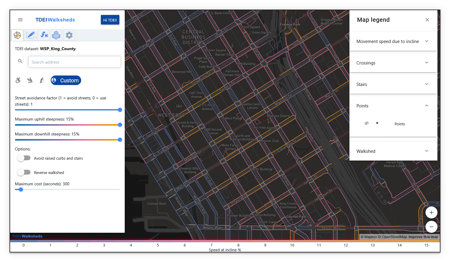
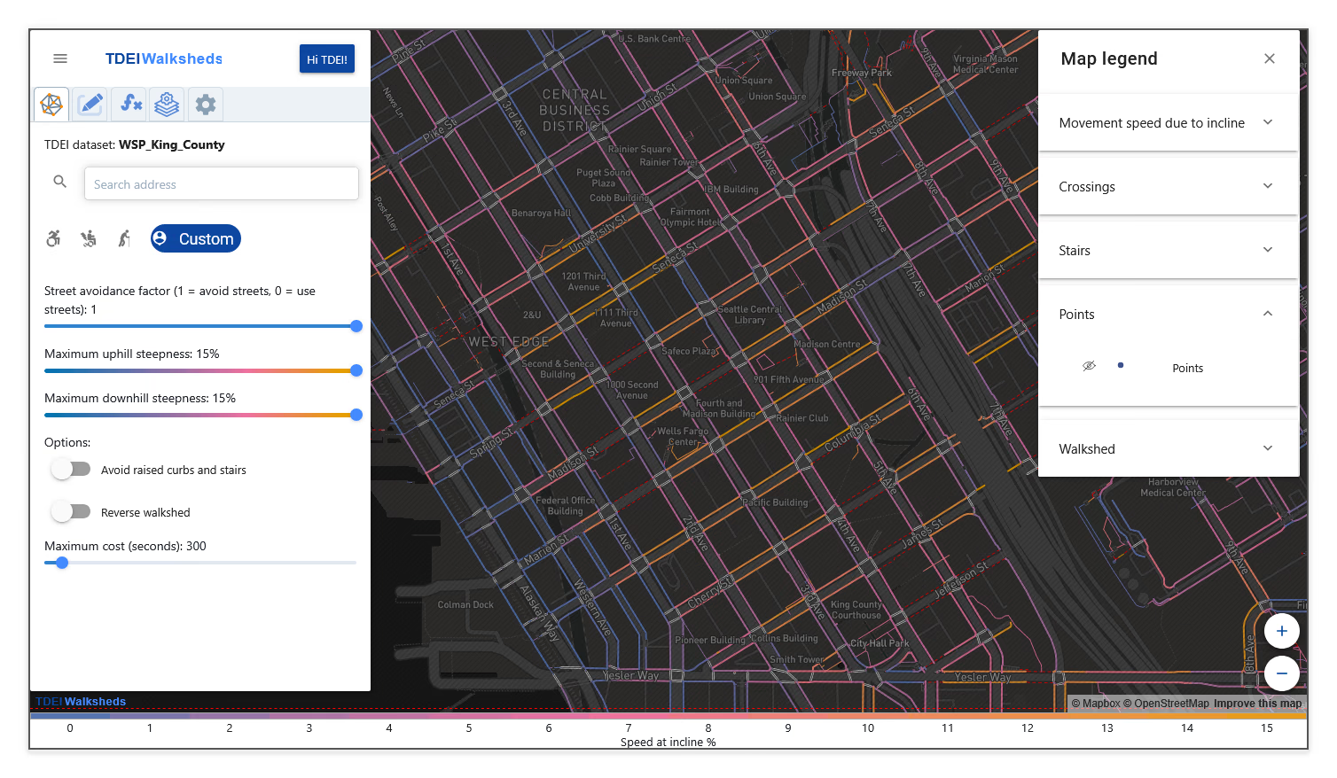
Open Map Legend and expand Points.
-
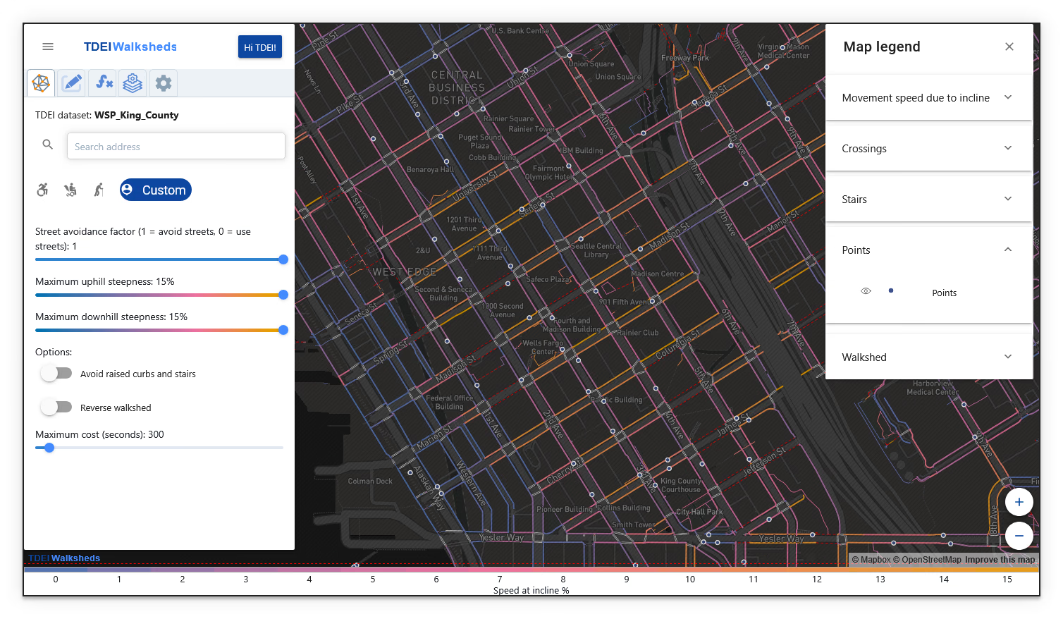
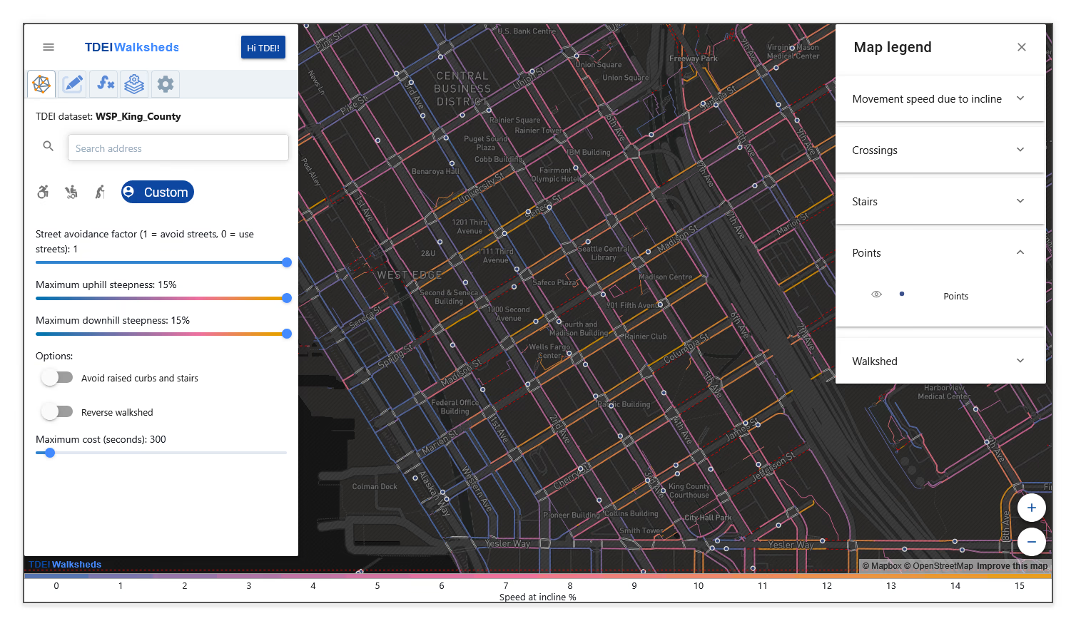
Select the visibility control for Points to display the extension dataset on the map.
-
Confirm that the bus stop points from the extension dataset appear on the map.
The bus stop extension dataset's points are now displayed in Walksheds.