Feature Inspection and Feedback
Feature Inspection and Feedback⚓︎
This section describes the Inspect panel and the information shown in the issue-reporting form.
For a list of all guides on the TCAT Wiki, refer to the Guides List.
Inspect a Map Feature⚓︎
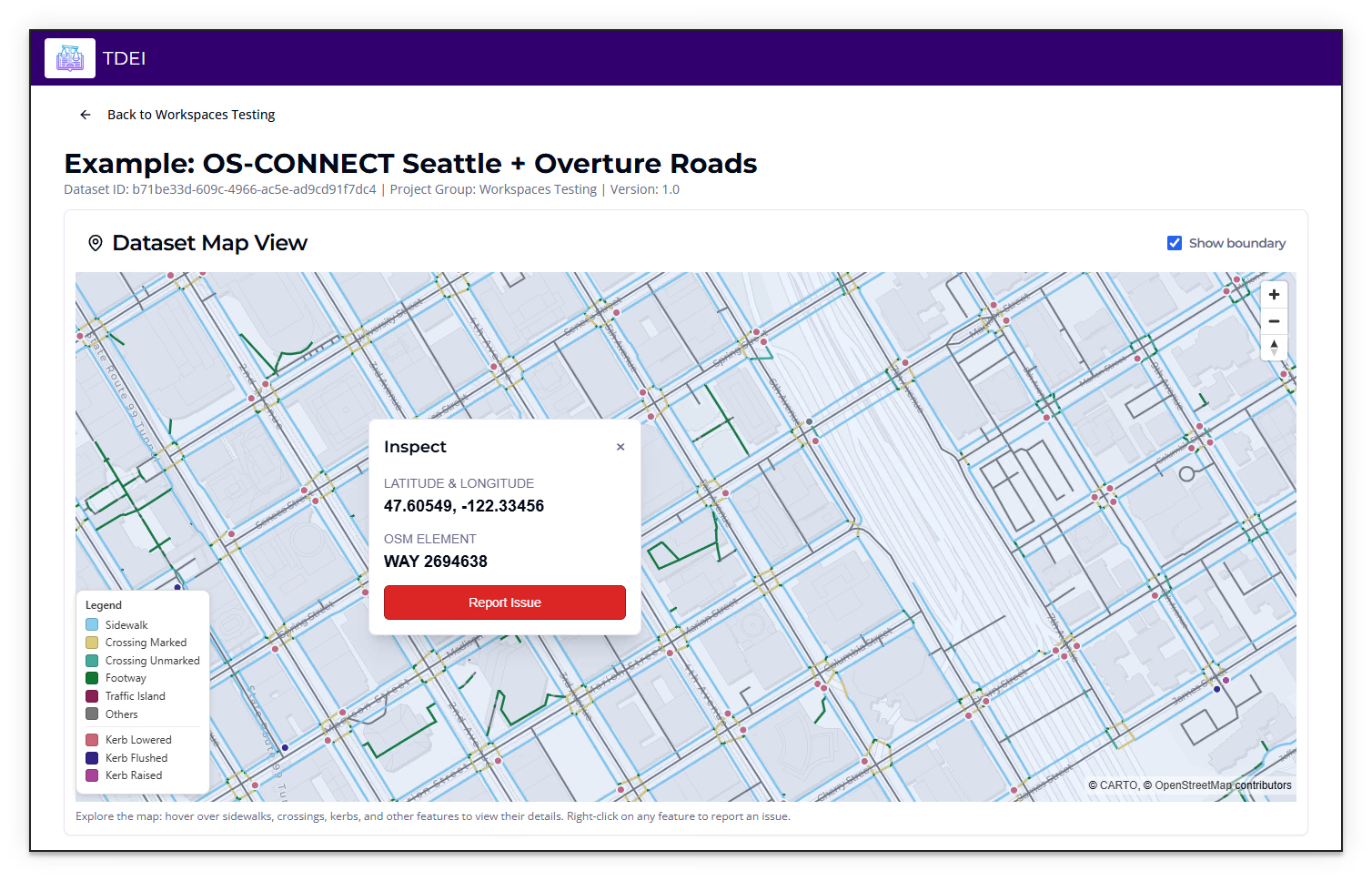
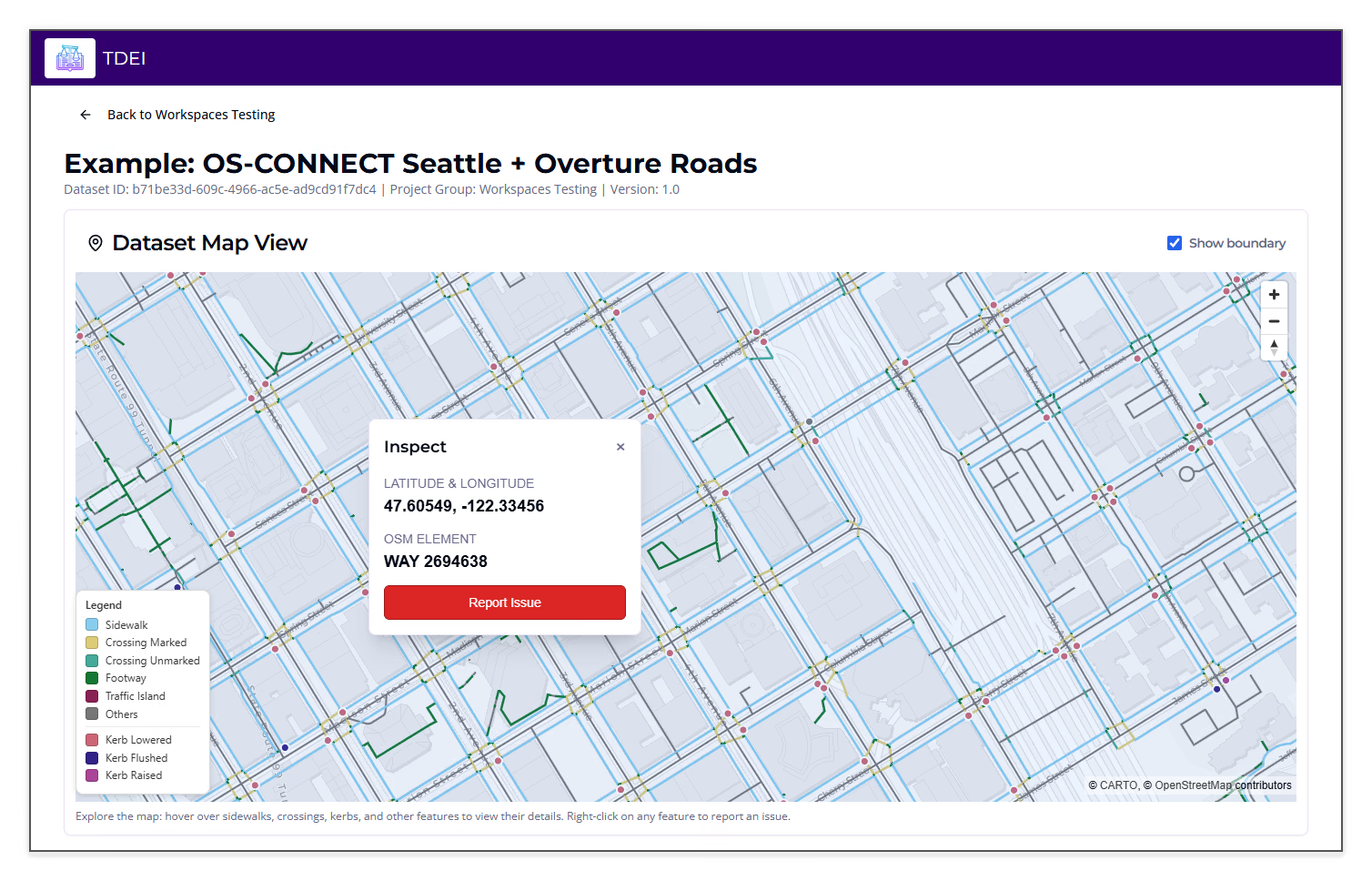
Right-clicking a feature opens the Inspect panel. The map instructions identify right-click as the pointer interaction and state that all actions are available by keyboard. The panel displays the latitude and longitude of the selected map location, the OpenStreetMap (OSM) element type and ID, and a Report Issue control.
Report Issue Form⚓︎
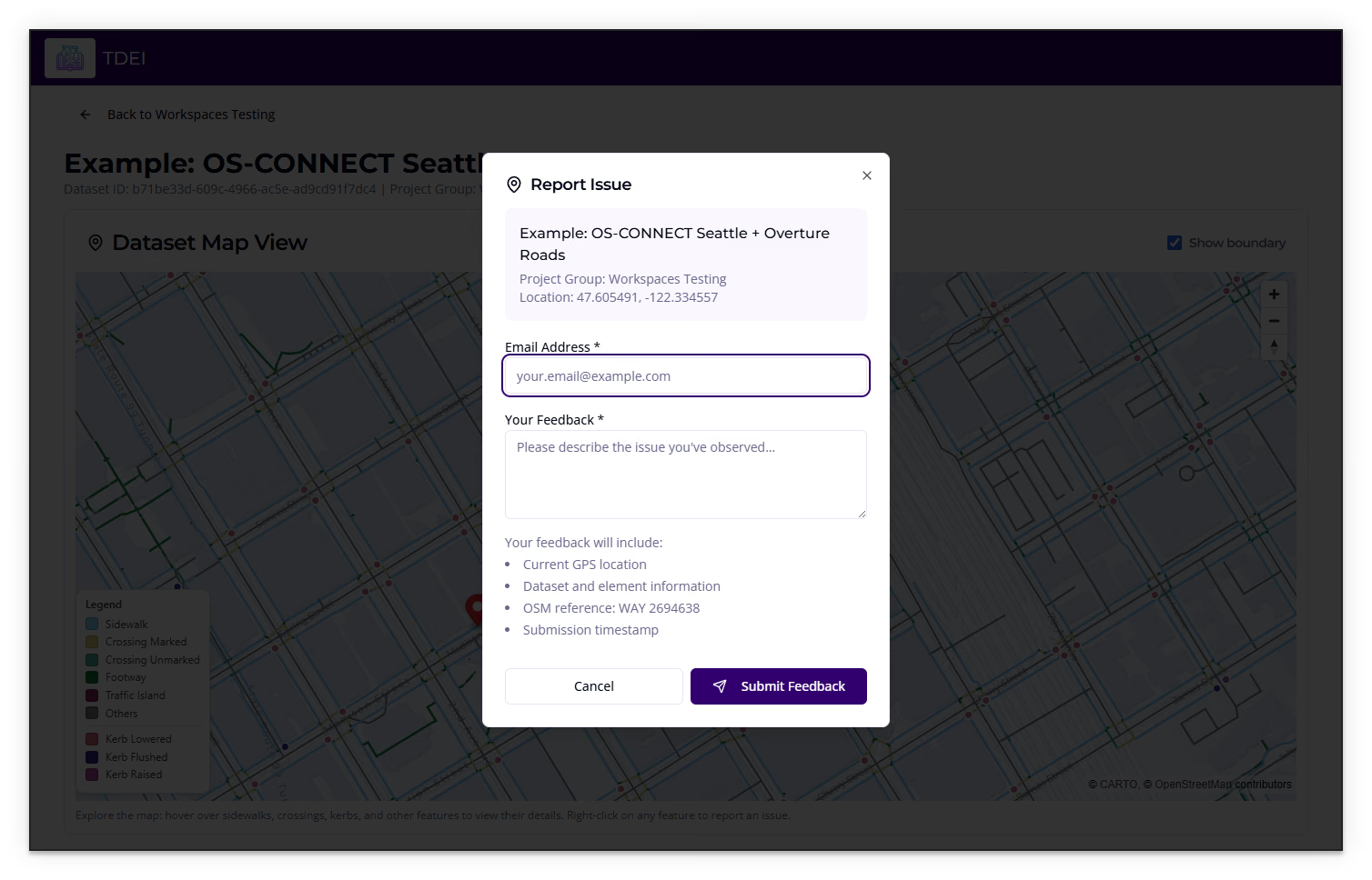
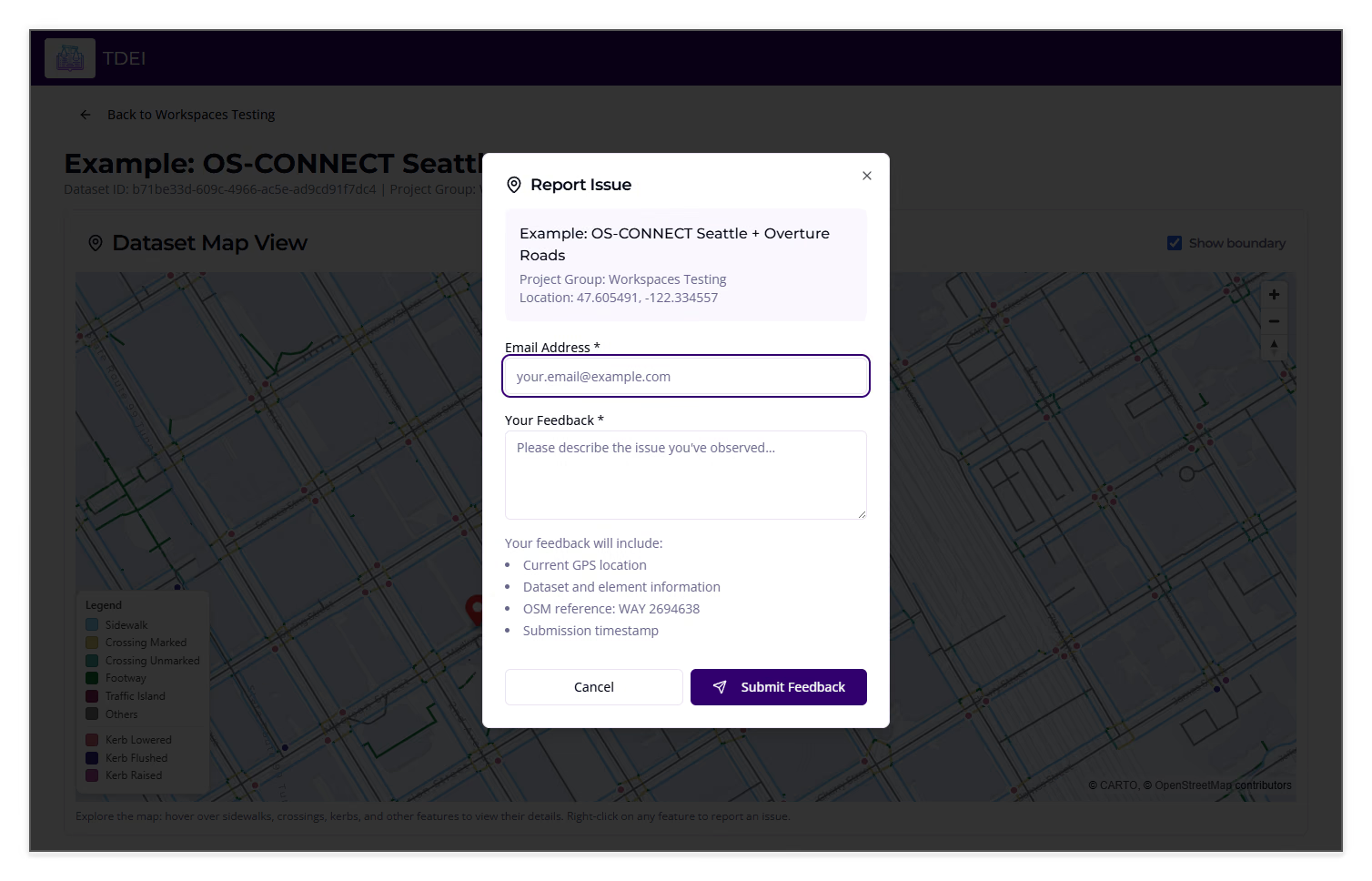
Selecting Report Issue opens a form associated with the dataset and inspected location. Email Address and Your Feedback are required fields. The form indicates that a submitted report includes the current GPS location, dataset and element information, OSM reference, and submission timestamp.
Cancel closes the form without submitting. Submit Feedback is the report submission control.
Previous: Maps and Dataset Features | Next: TDEI Data Viewer User Manual